# Exercise: Creating and updating geospatial data
# Drawing geospatial features in geoJSON.io
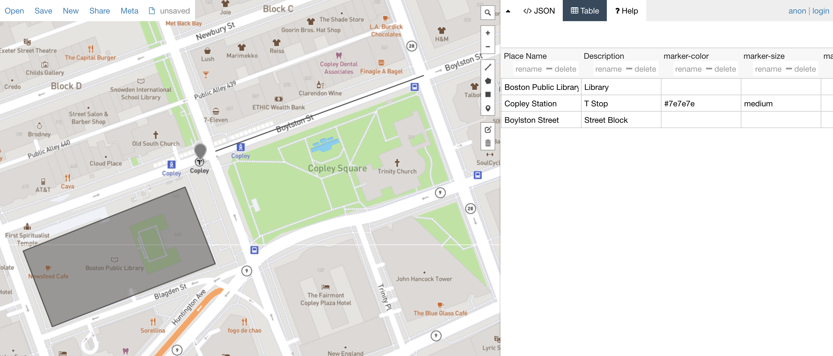
- geoJSON.io is an online platform where you can view geospatial data
- In this exercise, we will create our own geospatial data by drawing vector features (points, lines, or polygons) on the map, and populating the attribute table for these features.
- Ideas for data you can draw: parks in Boston; neighborhoods; points of interest. For this exercise, don't pick something too geometrically complicated.
- You could even try to recreate the map you hand-drew in Session 1!