# Learning to question data
# In between the world and data are people
- Just as there's a human behind every map, there is a human behind every dataset. This person chooses how to observe the world, how to organize these observations, and how to share the dataset with the world.
- Because there are humans in data, data is exposed to human error, oversight, and bias.
- The concept of a "privilege hazard" captures the oversights that occur when perspectives of those in power "exert an outsized influence on the decisions being made" with a given dataset, often "to the exclusion of other perspectives."
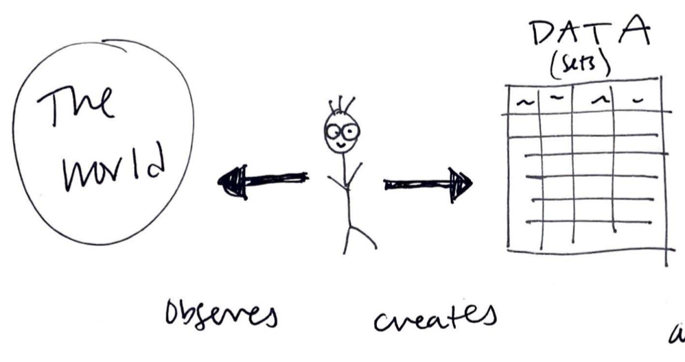
An illustration of the human role in data collection, Tess McCann (2021).
Read more about privilege hazard
# What questions should we ask of data?
- To start to understand the human element in every dataset, we can pose questions like these:
- Who made the data?
- Why was this data collected? What is the dataset's agenda? Personal bias of the data collectors can easily skew data to tell one side of the story but not the other.
- When was the data collected? Can the data still be used to make accurate conclusions?
- What is being counted or recorded? What is not being counted? What does this imply about the dataset?
- Where is the region that this data covers? Where was the data collected?
# Changing spaces, changing data
- Both attribute and feature data can be critically questioned in this way.
- The world around us is constantly changing; we must keep datasets updated. We must continue to ask questions of the data.
- Open Street Map and crowdsourced platforms offer ways for the general public to update spatial data, but who feels empowered to partake in these mappings and remappings? Does everyone have equal access?
- One example of changing feature data is rising sea levels. Data that describes the coastline has to be updated frequently, and old files might be inaccurate.
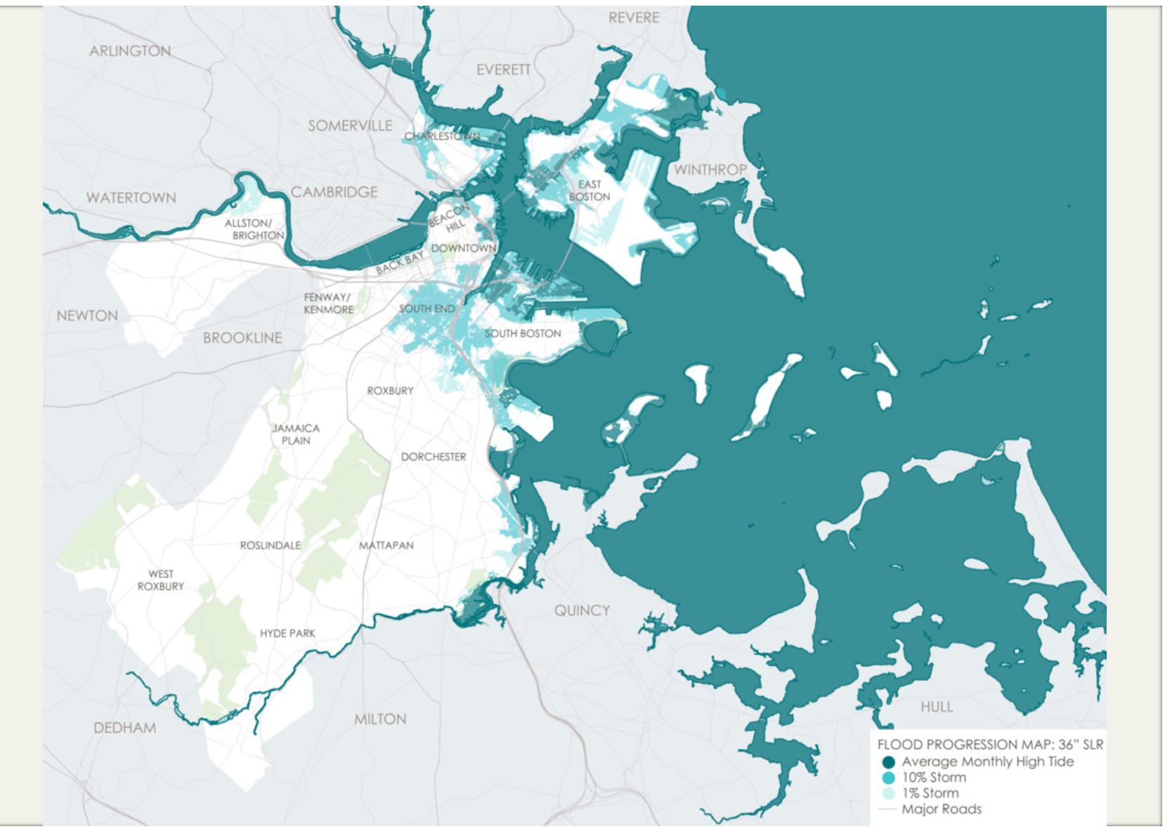
Flood Progression Map: 2070 and Beyond, Leventhal Map and Education Center (2016).
Read more about changing spaces
# Introduction to the LMEC Public Data Portal
- In the next sessions, we will dive into the Leventhal Map and Education Center's Public Data Portal.
- It offers curated Boston-centric datasets along with a variety of other resources to kickstart your mapping adventures!
- It includes robust information about the datasets it houses. This information helps us answer the critical questions we've discussed today.
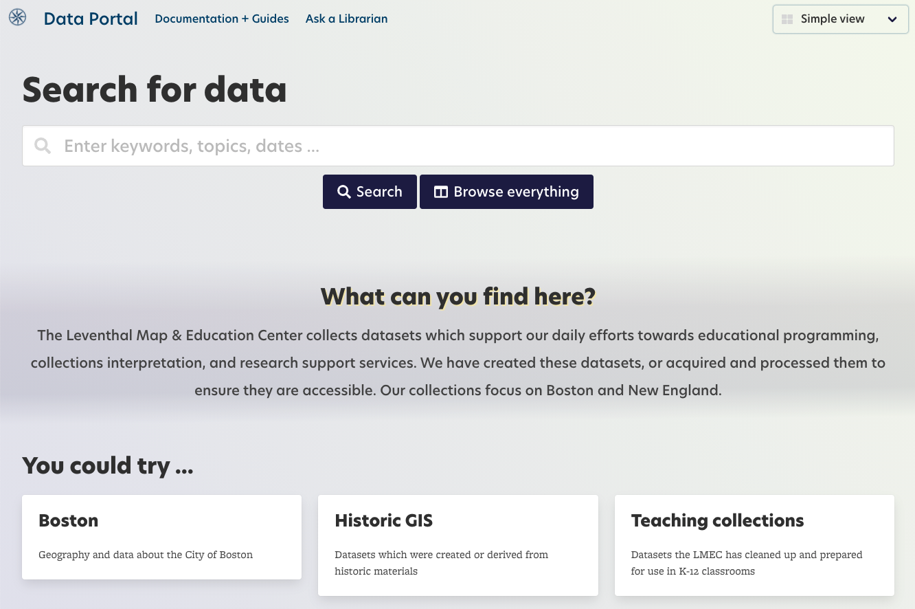
Data Portal homepage, Leventhal Map and Education Center (2021).
Check your understanding
Datasets never have to be updated or altered; once they're made, they remain accurate for all time.
Computers can update data automatically, without human input.