# Introducing geospatial data
- Geographer Denis Cosgrove has described maps as an instrument, like the microscope or telescope, that “allows us to see at scales impossible for the naked eye.
- He said that maps “reveal the presence of phenomena that are beyond our normal bodily senses.”
# Types of maps
- Reference maps specify locations of physical features such as coastlines, roads, rivers, cities, mountain ranges, or coffee shops. Examples of reference maps include atlases, road maps, globes, and Google Maps.
- Thematic maps show us trends across space, which are otherwise invisible, such as distribution of household income, annual rainfall, population density, or air quality.
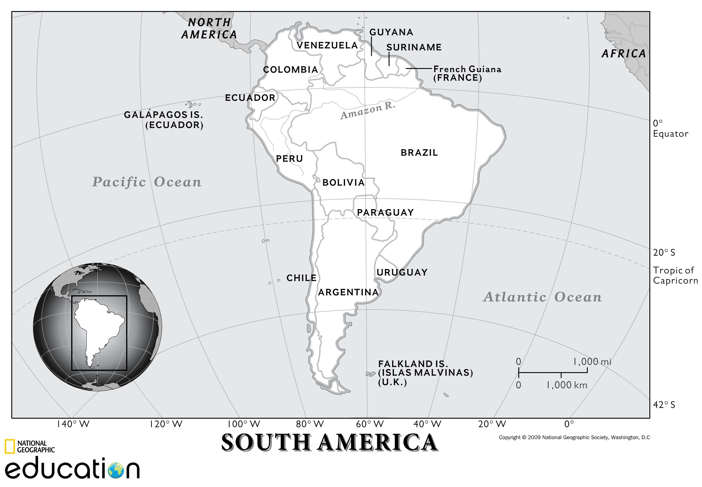
A reference map of South America showing country borders and locations of cities, National Geographic(2009).
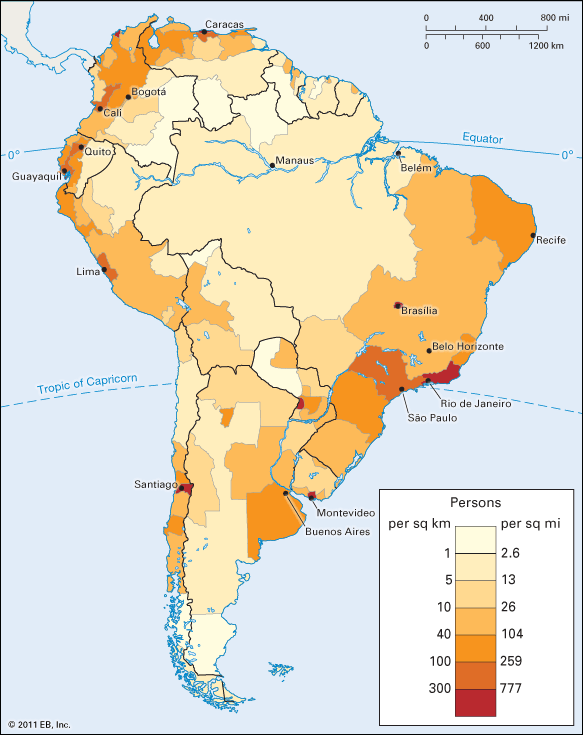
A map showing the population density across South America is an example of a thematic map, because it shows a specific theme—in this case, population density, Britannica.
- Both kinds of map rely on and represent data.
- In this course, we focus on the creation of thematic maps because they show us how to work with both spatial and non-spatial data.
Literature's absurdist map
Check your understanding
What kind of map would you use to figure out where the border of Boston lies?
What kind of map would you use to figure out which neighborhood of Boston has the most Vietnamese immigrants?