# Making Sense of Maps & Data
 |
|---|
Making Sense of Maps & Data is a public instruction program designed for adult learners getting started working with geospatial data and digital mapmaking. This program is being initially offered as a synchronous session, with course material developed for on-your-own future learning.
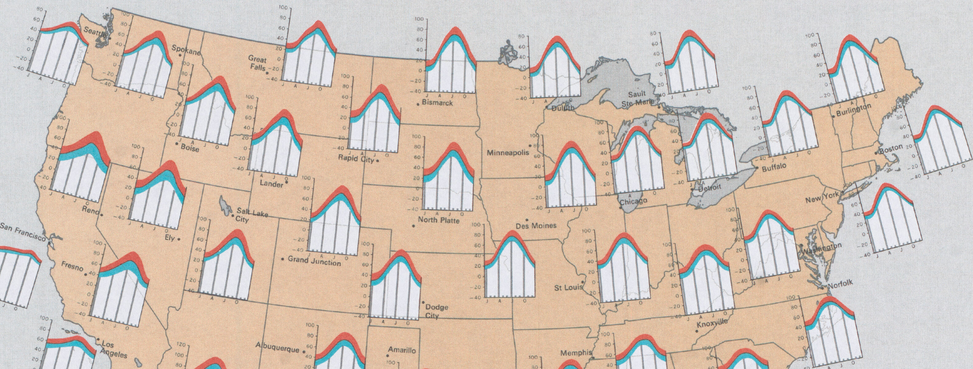
Participants in Making Sense of Maps & Data will learn what kinds of information are needed to make a map on a computer, and how to find this kind of information on the internet. The course also aims to equip participants with a careful and critical attitude towards the social power of computer data. This course serves as a springboard to more advanced work creating GIS and computer maps, and also teaches data literacy skills that are essential for interpreting information on the maps that are all around us.
# Course outline
- Session 1: Reverse Engineering Maps
- Session 2: Data Demonstrations
- Session 3: Becoming a Data Detective
# Credits
This course was created by the Leventhal Map & Education Center at the Boston Public Library, with support from a Seed Fund Grant from the Northeast Big Data Innovation Hub. Written material was created by Melissa Hill, Sarah Lomar, Belle Lipton, Tess McCann, and Garrett Dash Nelson. Michelle LeBlanc, Lynn Brown, and three teacher advisors reviewed the course and shaped its design for K-12 educators. Catherine D'Ignazio and Eric Huntley of the MIT Department of Urban Studies and Planning served as academic partners for the grant project and course design.
# Enroll in the course
See our Events Page for future course offerings, or follow us on social media.